Fort Hale · Island register

Plates from an island
beyond public access

Photographs filed from research stations across the island, each printed with the record it came back with: station, grid reference, time and a few lines from the log.

Now filed: Series 03 · Western Forest
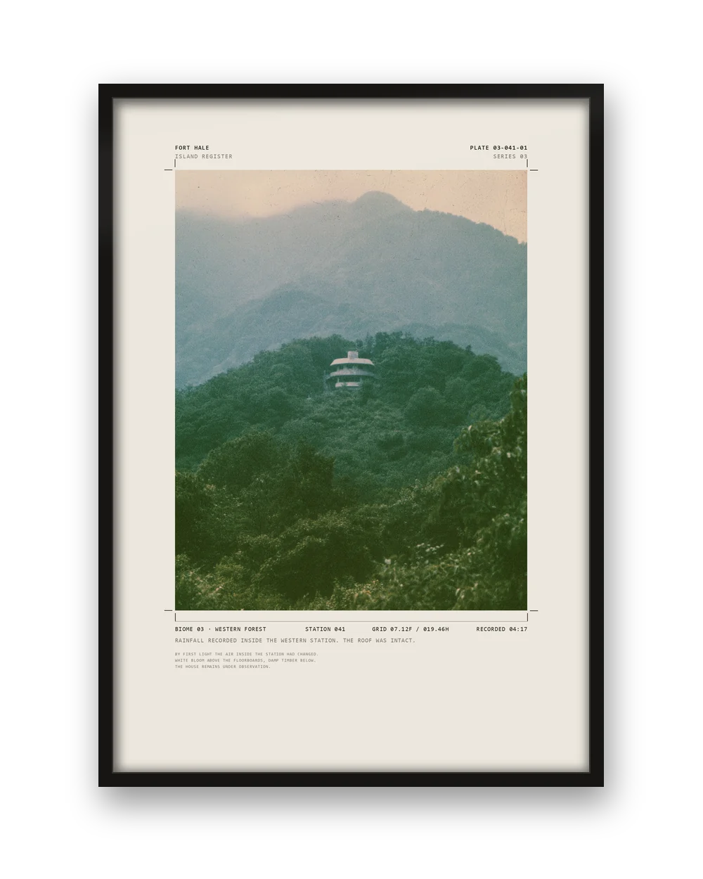
The Rain House print in a black frame. Plate 03-041-01 — The Rain House

Recently filed

All plates
Field record — station transfer

Forest, coast, ice, fault and wetland. Stations across all of them. Most of what happens on the island is ordinary: equipment is moved, samples are collected, weather is logged.

Occasionally, something is recorded that does not fit.

The island →
All plates

Island register

Biomes

Each environment on the island is surveyed and numbered. The numbers are not consecutive; the survey is larger than what has been released.

Fort Hale

The island

A remote island beyond public access. Forest, coast, mountain, ice, wetland and volcanic ground, with research stations across all of them.

Every site is recorded by biome, station and grid reference. Most records are routine. Some remain open.

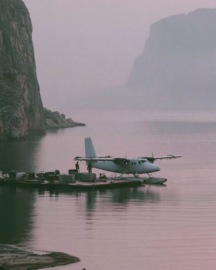
A seaplane moored at a floating dock in a still bay.
North bay
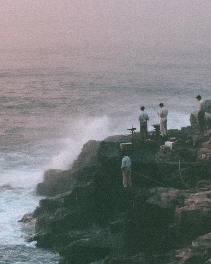
Figures with a surveying tripod above heavy surf.
Northern shelf
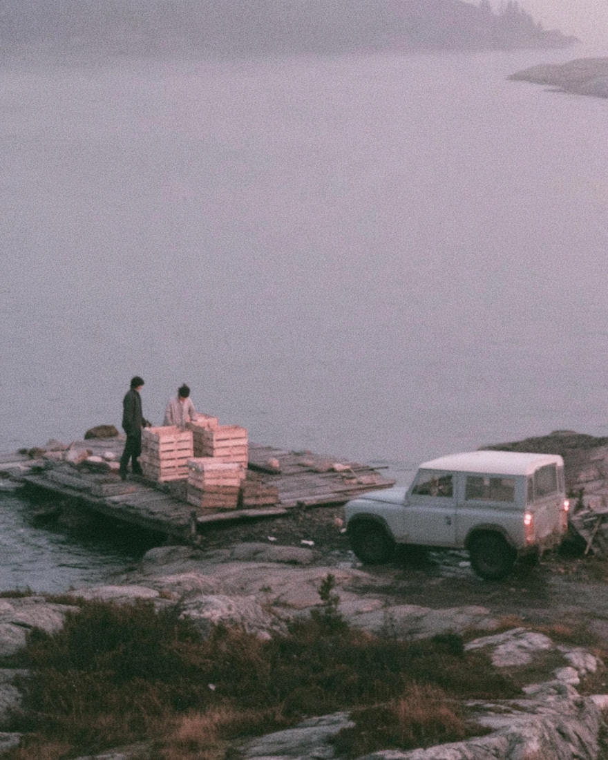
Crates loaded onto a timber jetty.
Supply jetty
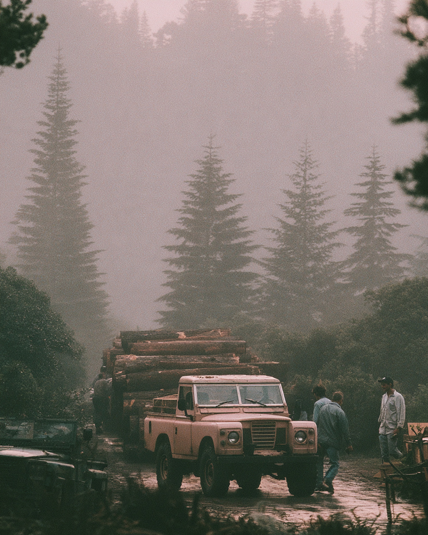
Timber trucks on a wet forest road in fog.
Haul road
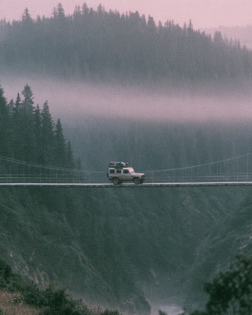
A vehicle crossing a suspension bridge in fog.
River crossing
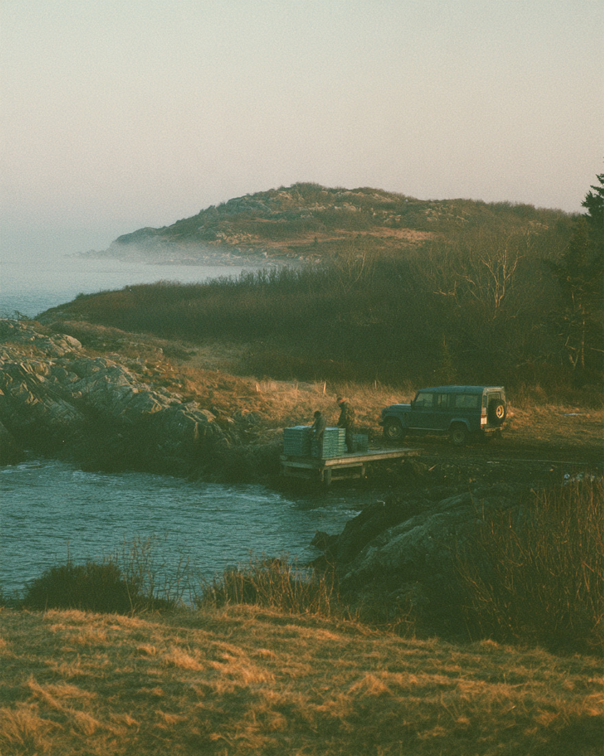
A vehicle and figures at a jetty on a headland at dusk.
Eastern headland

Stations

Filed so far

Flight records